Unlocking nature intelligence so the present can see it.

1
Mission

We are a conservation technology company.
Our mission is to bring AI into the natural world for real-time monitoring, the most critical tool for wildlife protection, ecosystem preservation and nature documentaries.

2
Process
2
Process

We develop visual stories with the same rigor filmmakers bring to movies.

i.

Hypothesize

Determine a biome's AI capability we wish to unlock.

ii.

Design

Adapt our autonomous units to use sensors that capture that capability.

iii.

Experiment

Launch a targeted on-site data collection operation with those units.

iv.

Evaluate & Iterate

Measure data quality, assess viability and tune the operation until a small, high-quality story is achieved.

v.

Productionize

Scale to thousands of units across the biome.

vi.

Release

Monitor, publish data, drive content and continuously improve it over time.

Two overlapping clusters of vertical bars converging in the center on a colorful gradient oval, with labels A dense grid of vertical bars shifting toward the right into a circle filled with a rainbow gradient, representing the architected data shape for model training.Three staggered horizontal layers of vertical bars converging on a central multicolored diamond, labeled A broken ring of vertical bars with one quadrant shown as a rainbow gradient, annotated A stylized waveform made of vertical bars colored in sequential rainbow segments, illustrating the scaled dataset spanning thousands of hours.Abstract graphic showing vertical bars, symbolizing nature dataset release.
i.

Hypothesize

Determine a biome's AI capability we wish to unlock.

Two overlapping clusters of vertical bars converging in the center on a colorful gradient oval, with labels
ii.

Design

Adapt our autonomous units to use sensors that capture that capability.

A dense grid of vertical bars shifting toward the right into a circle filled with a rainbow gradient, representing the architected data shape for model training.
iii.

Experiment

Launch a targeted data collection.

Three staggered horizontal layers of vertical bars converging on a central multicolored diamond, labeled
iv.

Evaluate & Iterate

Measure data quality, assess viability and tune the operation until a small, high-quality story is achieved.

A broken ring of vertical bars with one quadrant shown as a rainbow gradient, annotated
v.

Productionize

Scale to thousands of units across the biome.

A stylized waveform made of vertical bars colored in sequential rainbow segments, illustrating the scaled dataset spanning thousands of hours.
vi.

Release

Monitor, publish data, drive content and continuously improve it over time.

Abstract graphic showing vertical bars, symbolizing nature dataset release.

We partner with Microsoft, the WWF and the Max Planck Institute: the world-leading institutions in their fields.

3
Featured Technologies

A suite of tools for real-time monitoring, research analysis, live view, and carbon validation.

Dome

Solar-powered, Satellite-connected system of modular units that give high-quality videos, nature and sensor information instantly.

Range

Flagship monitoring platform that provides rangers with real-time wildlife tracking and threat detection across protected areas.

Scan

Research tool that cuts turnaround time from 18 months to 18 minutes for behavioral studies on great apes and the Big Five.

Roam

Live National Geographic-quality documentaries providing real-time wildlife viewing and professional cinematography from remote locations worldwide.

Rate

On-ground sensors that validate soil and tree carbon absorption, cross-referenced with satellite data for verified carbon credit validation.

Explore our solutions or design one with us

We offer additional technologies beyond these four platforms.
Contact us to request a demonstration, explore specialized solutions, or collaborate on a custom deployment.

Contact us

How to implement Geome technology

1. Schedule consultation

We will schedule a consultation to assess your protected area and provide tailored technology demonstrations for your specific conservation challenges.

2. Partnership agreement

Establish a partnership agreement covering technology deployment, training, and ongoing support for your protected area.

3. Deploy technology

For standard areas, we begin field deployment and ranger training within two to four weeks of partnership agreement.

Bonus: Custom solutions

We collaborate with organizations worldwide to develop specialized monitoring solutions for unique ecosystems, endangered species, and complex conservation challenges.

Contact us for more information.
4
Careers

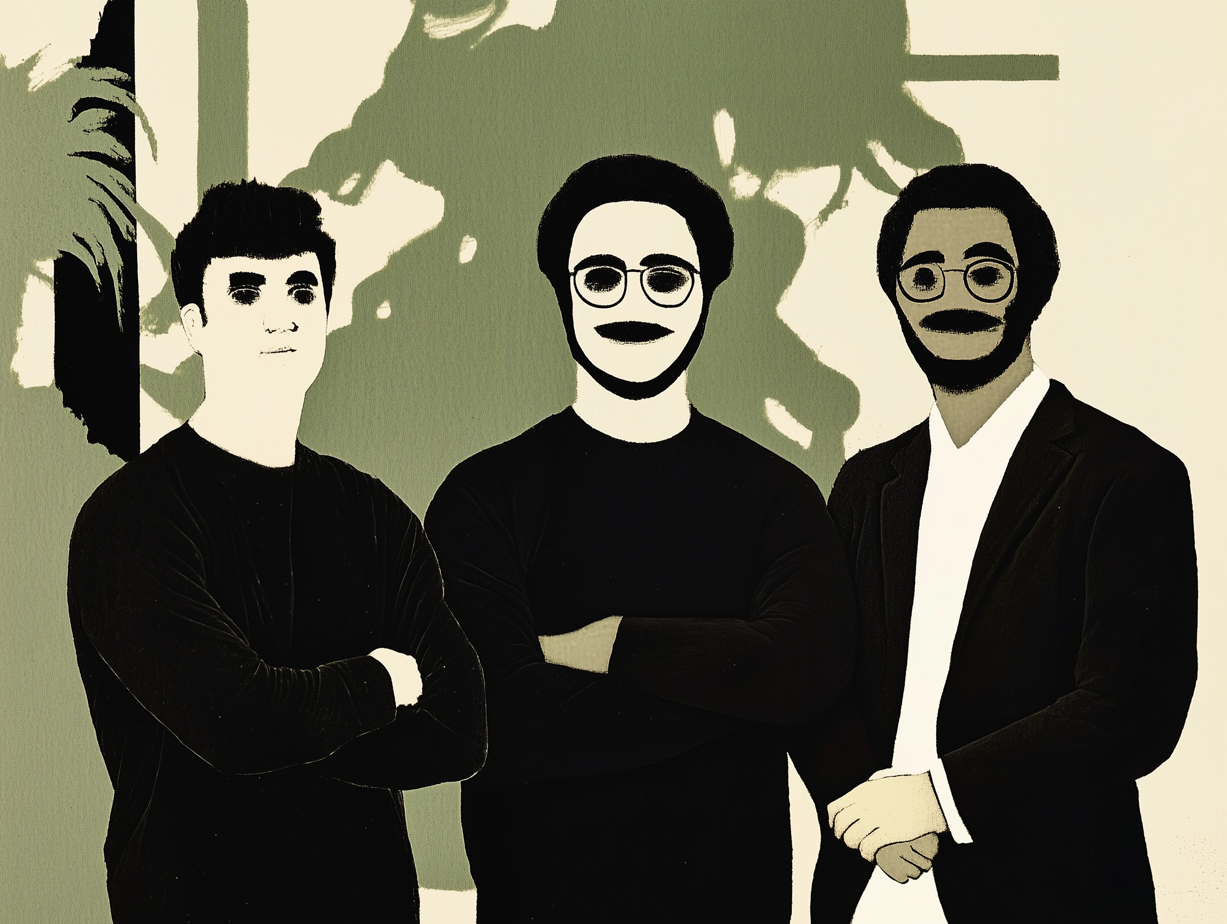
Join us to shape the future of nature AI

We're hiring for marketing, engineering, and operations roles.